The world of contemporary mapmaking is brought up-to-date in this revised and expanded edition of a best-selling book.
Maps help us understand and navigate the world. In our age of satellite navigation systems and Google Maps, personal interpretations of the geography around us are becoming even more relevant. A Map of the World is a compelling collection of work by a new generation of original and sought-after designers, illustrators, and mapmakers.
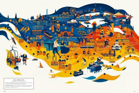
This work showcases specific regions, characterizes local scenes, generates moods, and tells stories beyond sheer navigation. From accurate and surprisingly detailed representations to personal, naïve, and modernistic interpretations, the featured projects in this updated version range from maps and atlases inspired by classic forms to cartographic experiments and editorial illustrations.
About the Author:
Antonis Antoniou is fascinated by the ways in which material things can be brought to life through immaterial visualizations. He grew up in Cyprus, where he was interested in colors and forms from an early age. When not obsessively designing maps and lists, he makes his living as an architect
______________
Contemporary maps in line with the zeitgeist by today’s most original and sought-after designers, illustrators, and mapmakers.
Maps help us understand and navigate the world. For centuries, maps have become better, more refined, and more precise — there are no blind spots anymore. While Google Maps and GPS systems have become our tools of choice for navigation, contemporary maps have evolved into platforms for cutting-edge illustration, experimental data visualization, and personal visual storytelling.
A Map of the World is a compelling collection of work by a new generation of original and sought-after designers, illustrators, and mapmakers. This work showcases specific regions, characterizes local scenes, generates moods, and tells stories beyond sheer navigation. From accurate and surprisingly detailed representations to personal, naïve, and modernistic interpretations, the featured projects from around the world range from maps and atlases inspired by classic forms to cartographic experiments and editorial illustrations.
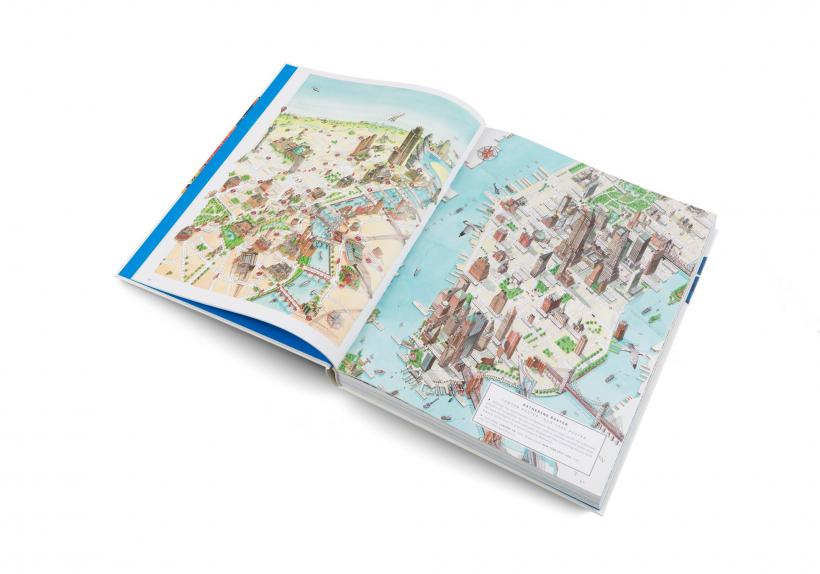
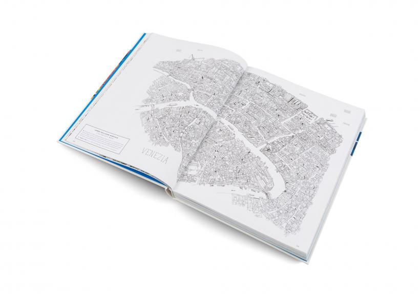
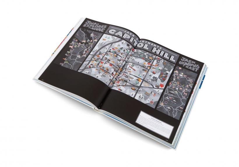
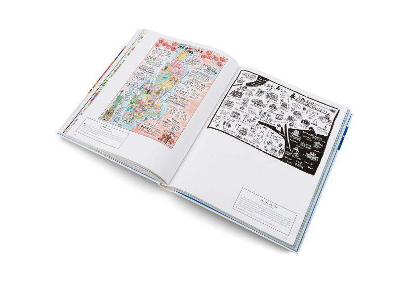
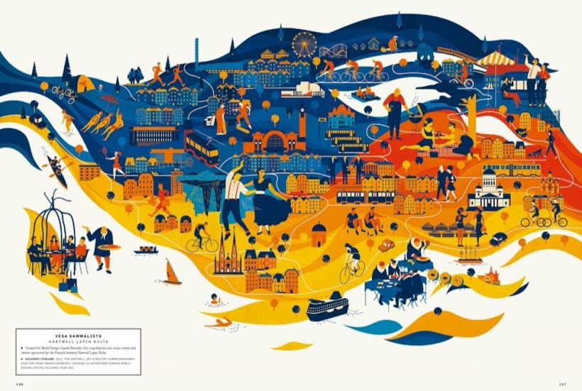
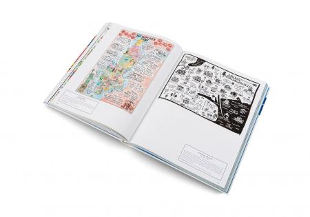
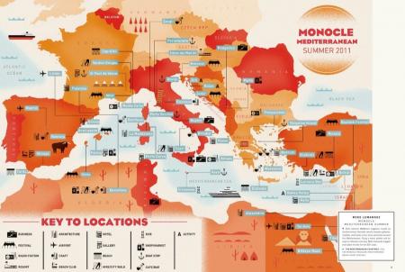
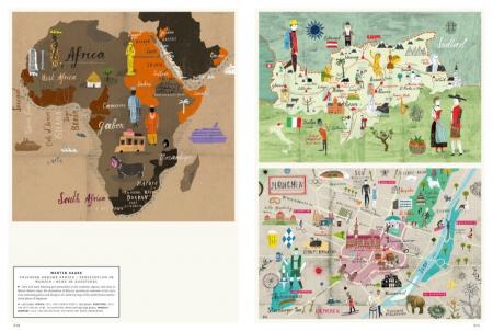
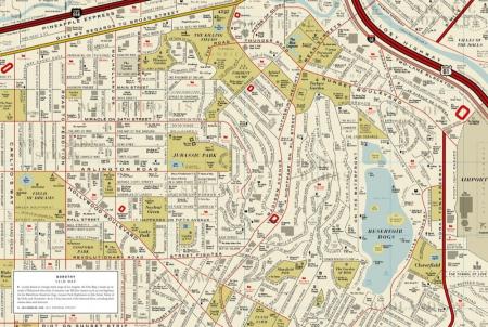
Drawing a map means understanding our world a bit better. For centuries, we have used the tools of cartography to represent both our immediate surroundings and the world at large — and to convey them to others. On the one hand, maps are used to illustrate areal relationships, including distances, dimensions, and topographies. On the other, maps can also serve as projection screens for a variety of display formats, such as illustration, data visualization, and visual storytelling. In our age of satellite navigation systems and Google Maps, personal interpretations of the world around us are becoming more relevant. Publications, the tourism industry, and other commercial parties are using these contemporary, personal maps to showcase specific regions, to characterize local scenes, to generate moods, and to tell stories beyond sheer navigation.
A new generation of designers, illustrators, and mapmakers are currently discovering their passion for various forms of illustrative cartography. A Map of the World is a compelling collection of their work — from accurate and surprisingly detailed representations to personal, naïve, and modernistic interpretations. The featured projects from around the world range from maps and atlases inspired by classic forms to cartographic experiments and editorial illustrations.